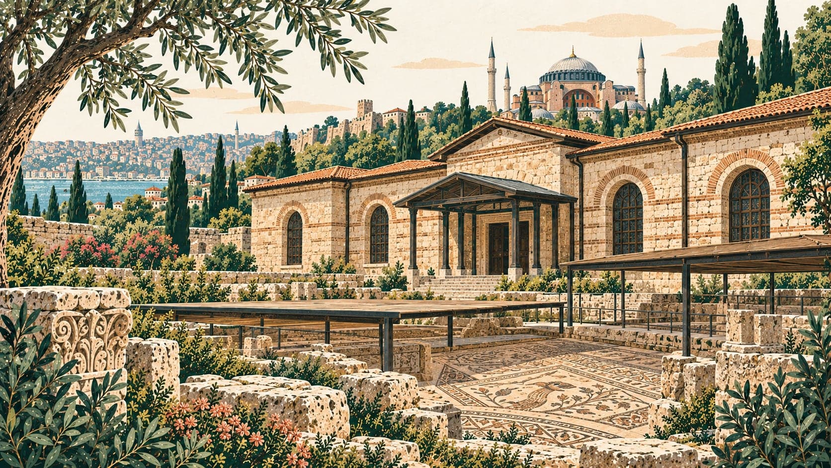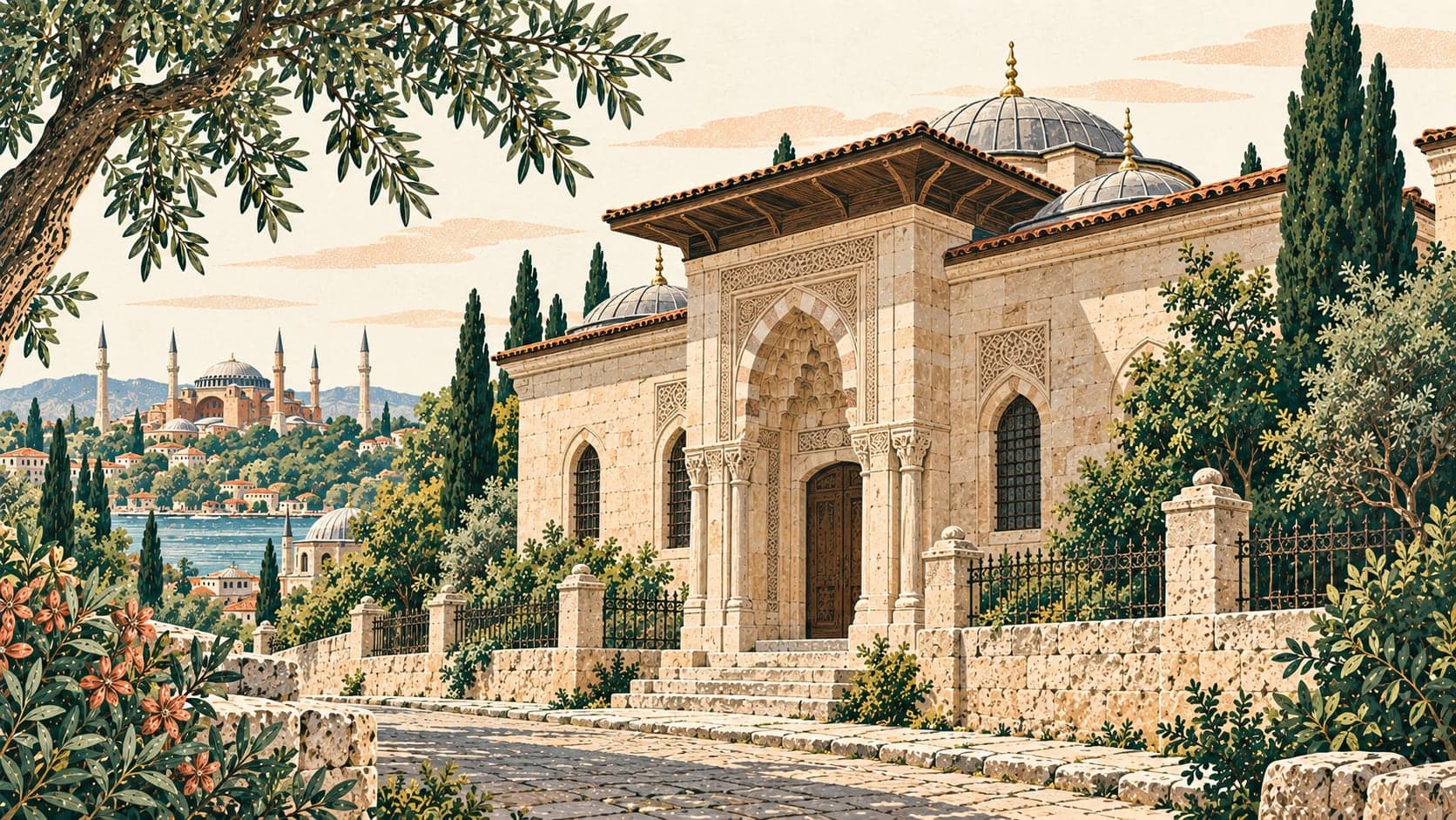
Our compilation for the old quarter of İstanbul, not an official route. The stops were chosen by how close they stand to Ayasofya, because the district boundaries in our inventory are incomplete for İstanbul and would have produced an almost empty list; distance to a known point is something we can measure for every record.
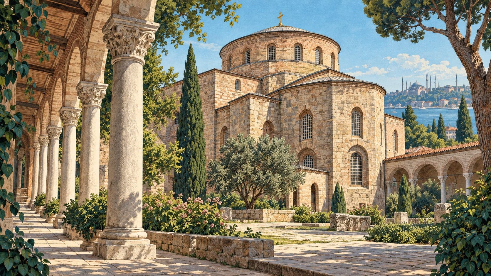
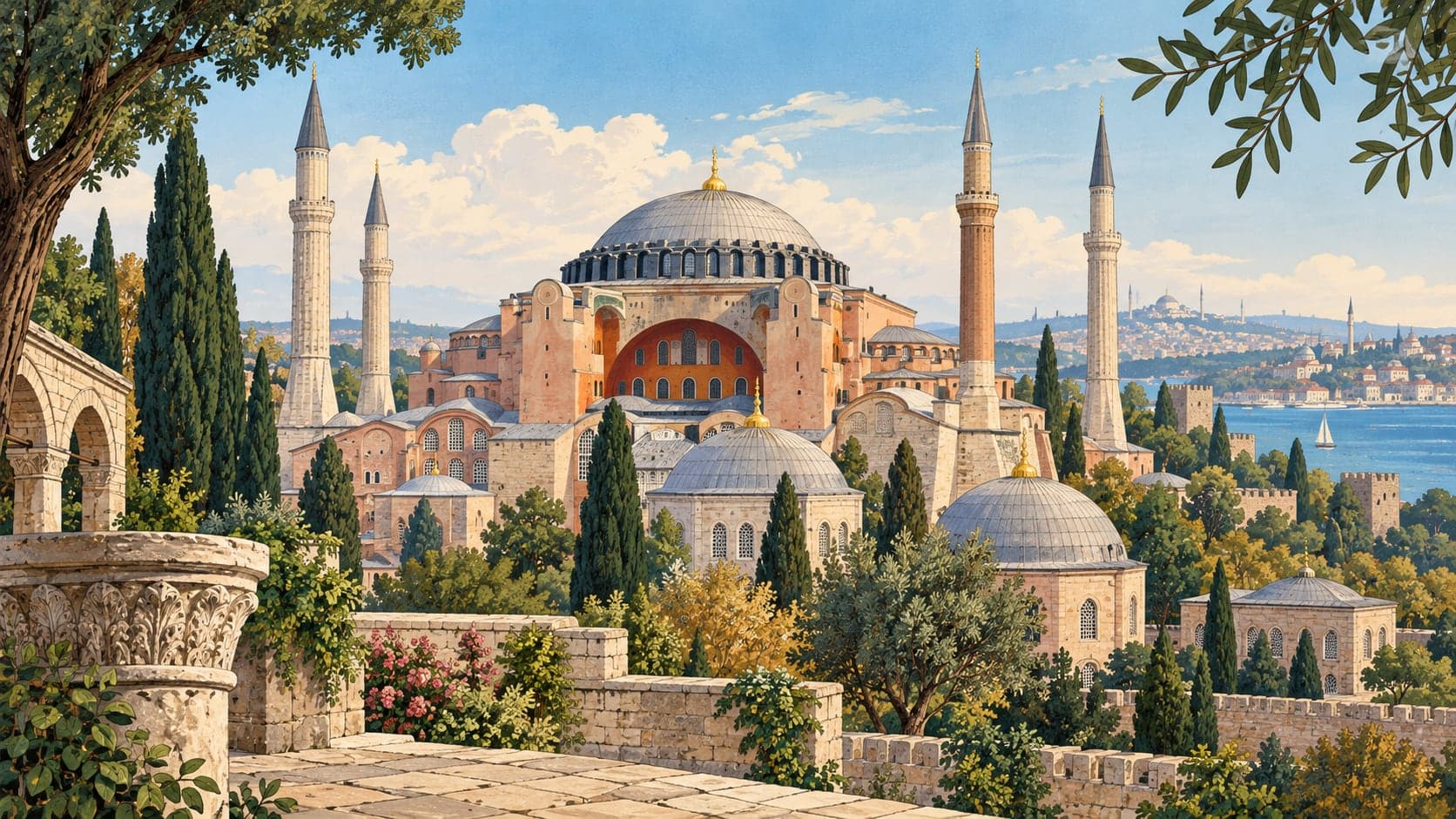
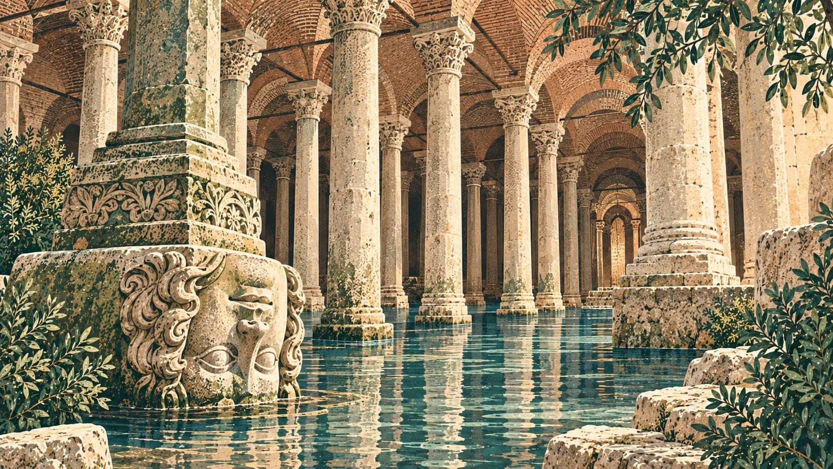
That measurement is what makes this route unusual: everything on it lies within a little over a kilometre of Ayasofya, so the walk between one stop and the next is a matter of streets rather than of transport. Ayasofya itself, the Yerebatan Sarnıcı and Aya İrini stand within a few hundred metres of one another, and Topkapı Sarayı stands just north of them.
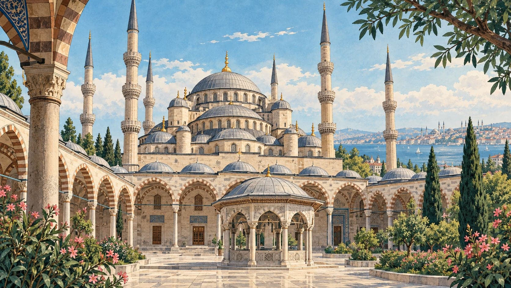
South and west of that core the ground changes character. The Büyük Saray mosaics lie just south of Ayasofya with Sultan Ahmed Camii beside them; Nuruosmaniye Camii, the Türk Vakıf Hat Sanatları Müzesi and the İslam Bilim ve Teknoloji Tarihi Müzesi belong to the Ottoman centuries. The Mısır Çarşısı is at the north-western edge of the group, down towards the Haliç, and is the one stop that is a place to move through rather than a building to visit.
No walking or driving times are given anywhere in this guide, because we have no road data and a straight-line distance is not a walking time. What each place is, when it was last checked, and which source says so is on its own page.