Guide
Mnara, also called Marmara, is one of the hardest ancient cities in Anatolia to reach. It sits on a high rocky summit on Kavaklı Dağı, at about 1,400 metres, inside the Kemer district of Antalya, from where it could watch a good part of eastern Lycia and see the whole gulf of Antalya as far as Side with the naked eye.
What is known of its history is thin. Ancient sources record that the people of Mnara raided and damaged the crops of Phaselis, and that Alexander, wintering at Phaselis during his Asian campaign, took the city. The buildings suggest it was founded in the Hellenistic period and remained occupied under Rome, shrank in the early Byzantine centuries and was abandoned in the eighth. In the Hellenistic period it was an independent polis and the centre of the district recorded as Mnarske on the Lycian milestone.
The city is a very steep, unreachable rocky acropolis with building remains on the slopes below it. No walls have been found — presumably because the hill itself made them unnecessary — only what looks like a tower at a lower point with a view over the sea and the valley.
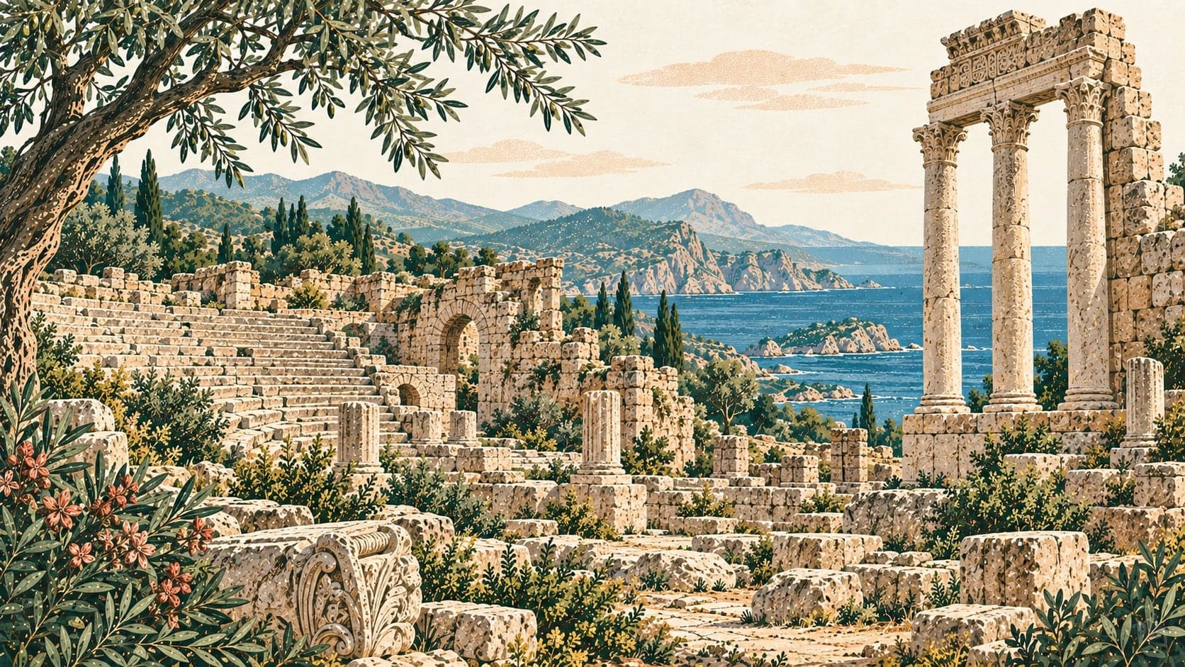
The remains run east to west. The south of the summit was worked as a quarry. To the south-east stands a temple built entirely of marble, reached by three steps, with four columns across its front and rich shield reliefs; fragments of sculpture on the surface show that many statues were dedicated to it. West of the temple are a large cistern and remains taken to be a heroon. North-east of it, almost at the summit and ending in cliffs on both sides, is a building without a stage house that was used for religious ceremonies, and to the north-west are the terraced remains of an agora and what is thought to have been the council house.
The source is honest about the walk: getting there can be hard going, and the site rewards hikers as much as it does people interested in archaeology.