Guide
Anemurium occupies the eastern slopes of Cape Anamur, the point where Anatolia comes closest to Cyprus. In antiquity it was one of the significant harbour settlements of western Rough Cilicia, sitting on the eastern Mediterranean sea route and giving the inland settlements of Anatolia their way down to the water. That double role is why it mattered strategically through the Roman and Byzantine centuries. The Ministry's page notes that ancient writers took the name to mean windy place.
When people first settled here is not known. The city appears in a list of harbours, which is the evidence for saying it existed by the 4th century BC. In the 1st century AD it formed part of the growing Kingdom of Commagene, and coins of Antiochus IV were struck here; the circuit wall of local blue limestone, a kilometre and a half long, belongs to that period. Under Rome the city became a way-station on the Cyprus route, linked by road to Germaniopolis, and made its living exporting the natural resources of the region — most of the standing buildings date from those years. That prosperity ended in AD 260 when Persian forces took the city. The Isaurians held it from the 5th century, and under Zeno of Isauria it flourished again into the 6th, leaving churches and two small bath buildings. Arab raids reached it in the 7th century and it was abandoned entirely thereafter.
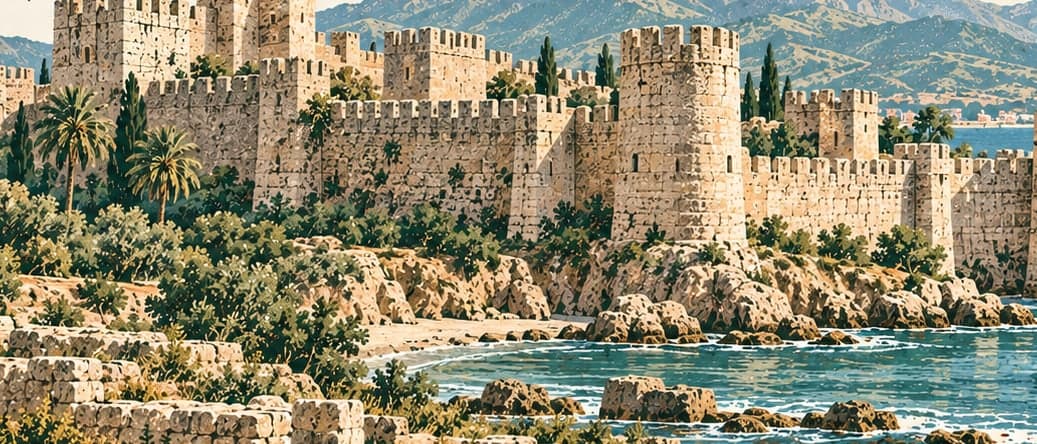
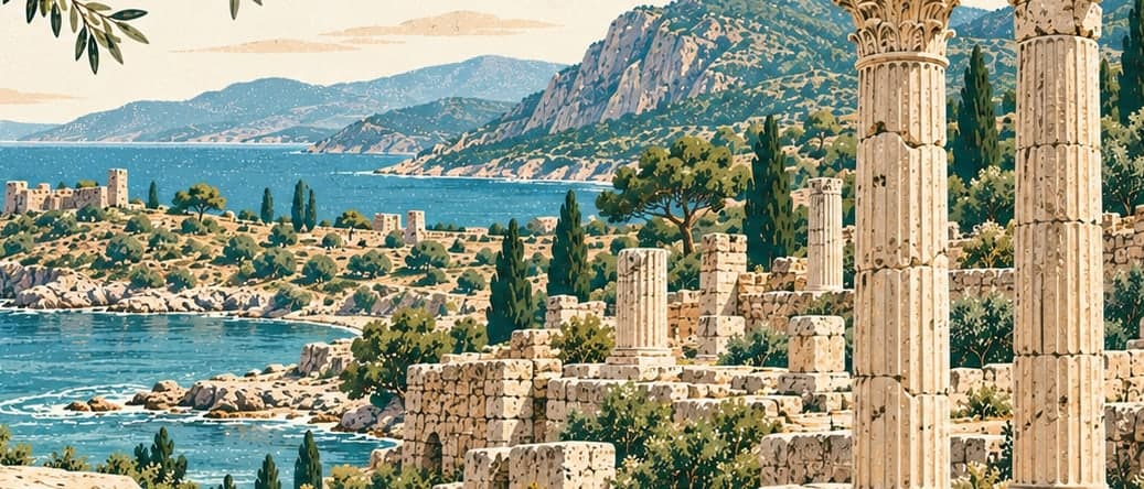
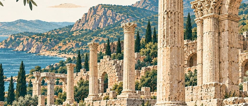
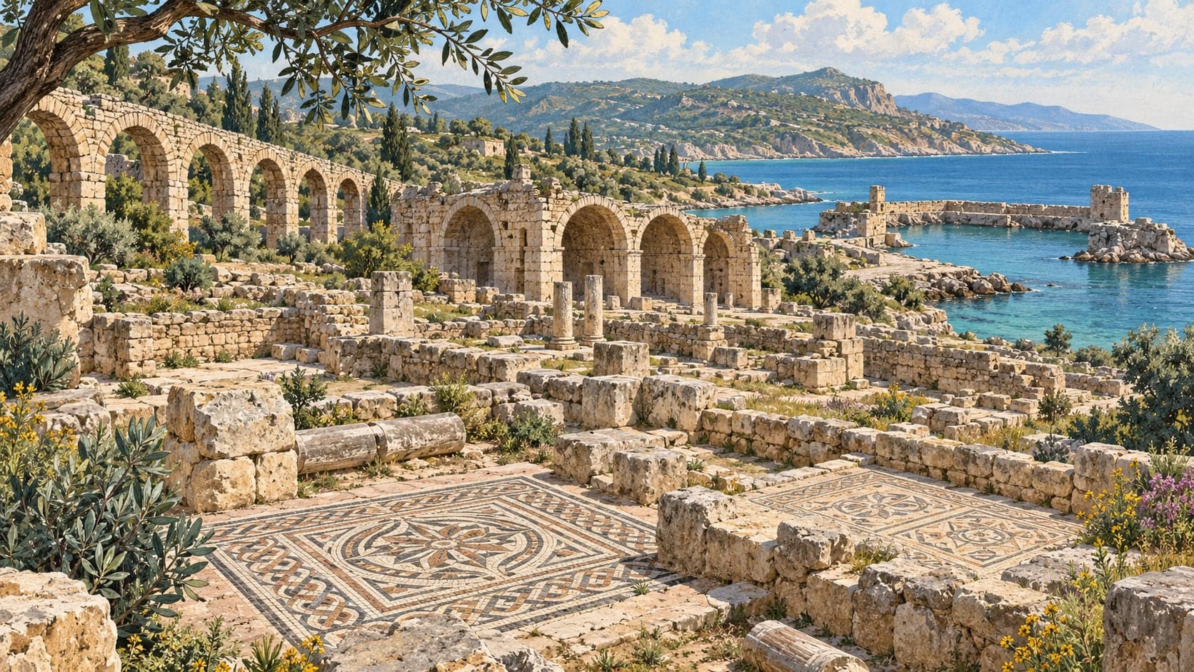
The city divides into two. The acropolis crowns a steep headland at the southern end, high above the sea, holding Hellenistic and medieval wall lines and the remains of what were probably cisterns, a bath and a church. The lower city spreads across the flat ground near the shore and holds the public architecture: an odeon, a theatre, a basilica, a palaestra, five baths, four churches, an aqueduct. A zigzag wall encloses the whole, with a second wall running from the hilltop down to the sea to split the settlement in two. The theatre has lost the seating that rested on the slope, though parts of its enclosing walls stand; the odeon opposite is rectangular with two entrances and about nine hundred half-round seats, its doors opening into a vaulted, mosaic-floored corridor that connects to the orchestra, and it is dated to the 2nd century AD.
The public bath west of the theatre is the largest on the site, two storeys, with three heated halls and two swimming pools; vaulted rooms occupy the lower floor and the horizontal clay pipes of the water distribution are still visible, though little survives of the geometric floor mosaic. A second bath of three courts lies between the cemetery and the sea, with mosaics inside and on the floor of its front court. The gymnasium, south-west of the odeon, runs a hundred metres over roughly a thousand square metres, enclosed on three sides by stoas, its whole floor laid with geometric mosaic. North of the city two tiers of aqueduct run east to west, the upper built more plainly than the lower. On the mountain slopes bounding the city to the west lies the largest cemetery in the region, with around 350 tombs of many types, a great number of them preserved up to their roofs — a state of preservation the Ministry compares to Elaiussa-Sebaste.
The site was brought to modern notice in the 19th century by Captain Francis Beaufort of the British navy, surveying this coast. Surface work began in the 1960s under Elisabeth Alföldi of the University of Toronto and continued as excavation and restoration led by Prof. James Russell of the University of British Columbia until the end of 1998. Finds from that work include fishing gear and the tools of builders, tailors and potters, coins, a lead seal, a steelyard weight, weaving implements, keys and locks, razors, cosmetics, and jewellery down to gold belt buckles. To reach the site, turn seaward about four kilometres along the Anamur–Gazipaşa road and follow the two-kilometre track; a taxi, a rental car or a private vehicle all work, and the address is Ören Beldesi, Anamur.