Guide
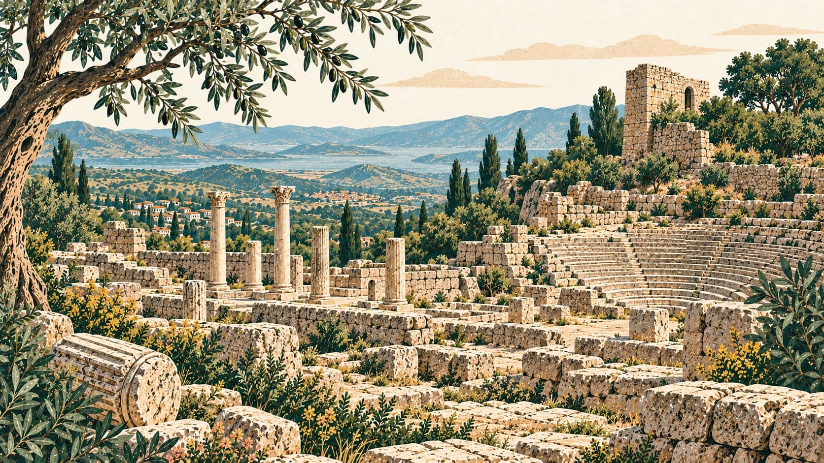
Aigai stands on Yunt Dağı — ancient Aspordenos — near the Köseler neighbourhood of the Yunus Emre district of Manisa, and it is unusual among Greek cities for being nowhere near the sea. The people who built it made a substantial Hellenic city on poor, mountainous ground well inland, and kept it going for a thousand years. Ancient writers say the Aeolians founded it after migrating from Greece to Anatolia at the end of the 2nd millennium BC; archaeological work on the site indicates, for now, a foundation in the late 8th century BC.
The name comes from the old Greek word for goat, and that etymology is not decorative. The goat appears constantly on the city's coins, epigraphic evidence points the same way, and the villages of Yunt Dağı still live mainly from livestock. Taken together these suggest an economy founded on herding from the 8th century BC onwards. In the Hellenistic period the city, famous above all for goats, was selling leather, textiles and bone goods. Pergamon, which used parchment in its celebrated library and is named as parchment's inventor, is thought either to have had the Aigaians produce it or at least to have bought its raw hides from this city of shepherds.
The council house is the building excavation has taken furthest. It was first noticed in 1886 by members of the Pergamon excavation team, who found nearby an architrave block inscribed to record that Antiphanes son of Apollonidas had dedicated a building to Zeus Bollaios, Hestia Bollaia and the Demos — a text that must once have run across the front wall. The building measures 24 by 14 metres, lies east–west on sloping ground along the road up to the agora square, and falls into three parts: an entrance gallery of six Ionic columns on the west, a twelve-stepped seating bank holding about 190 people, and a semicircular orchestra. Six marble heads and their bodies were found in the collapse; they had stood on piers at the eastern end of the north wall and inside the front wall, and two of the bases carry Greek inscriptions naming the Pergamene sculptor Menestratos son of Hippias. Among the statues are one of the goddess Hestia Bollaia and six members of the Diaphenes-Antiphanes family, who had helped pay for the building.
East of the agora building, on the level of its ground floor, a terrace or small square holds a separate structure that must have worked as a fish or meat market — makellon to the Greeks, macellum to the Romans. It is 8.56 metres across with four steps of regular slabs, and some blocks of its lowest course are incised with Greek letters, proof that they were cut and shaped to a plan. Because it was a wet room its floor was paved with regular blocks bedded in lime mortar for waterproofing. The agora building itself runs along the east of the terrace on the north-east slope of the city hill, roughly 80 metres long, its east wall standing 10.5 metres high, built on three storeys and leaning against the terrace on the west.
The sanctuary of Athena occupies the western corner of the acropolis inside the Archaic walls, aligned north-west to south-east, and in its commanding position on the terrace east of the theatre it resembles the Athena sanctuary at Pergamon; work begun there in 2017 has produced finds spanning the 7th–6th centuries BC to the late Byzantine period. The theatre was built into the bowl west of that terrace, sheltered from the north wind. Its retaining wall, 1.35 metres thick, is laid in header-bonded isodomic courses of lightly bossed rectangular blocks in a manner characteristic of the reign of Eumenes II, and is thought to date from the early 2nd century BC; after the earthquake of AD 17 it was abandoned and replaced, terminating in a vaulted entrance passage added on the south. That passage runs east–west into the seating through three arches stepping down in sequence.
Aigai was deliberately abandoned in the second half of the 3rd century AD during the Gothic incursions that swept the region. A town-sized settlement existed here in the Byzantine period, but its people were largely engaged in salvage: they pulled down the older buildings and picked through the rubble for anything reusable or saleable. A church of the 12th–13th centuries and scattered simple structures date from that time. After the 13th century there is no settlement activity at Aigai at all. The site is 49 kilometres from Manisa and 15 from the İzmir–Çanakkale road, and can also be approached via Bergama, Şakran and Köseler village. The Ministry credits the text and photographs to the Aigai excavation directorate.