Guide
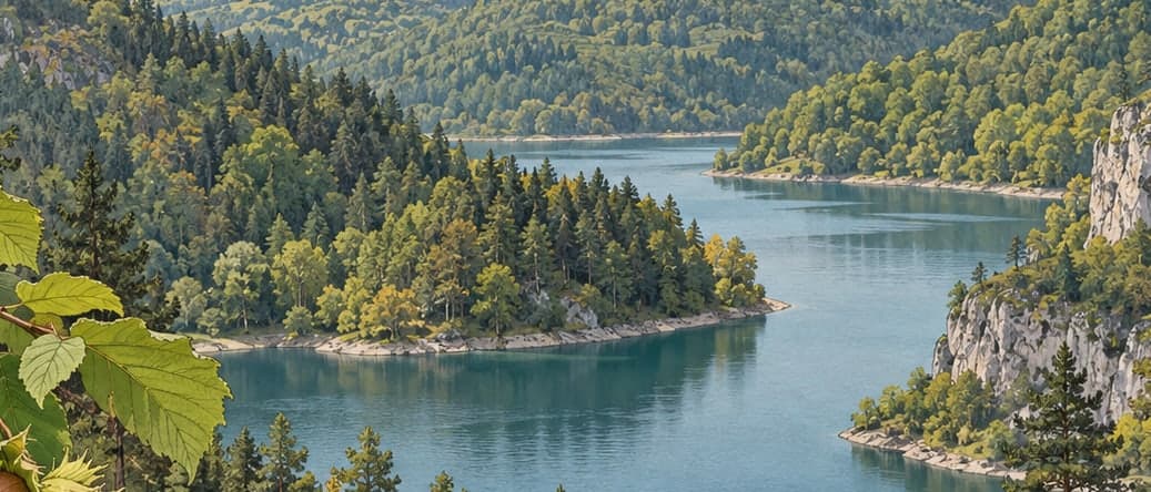
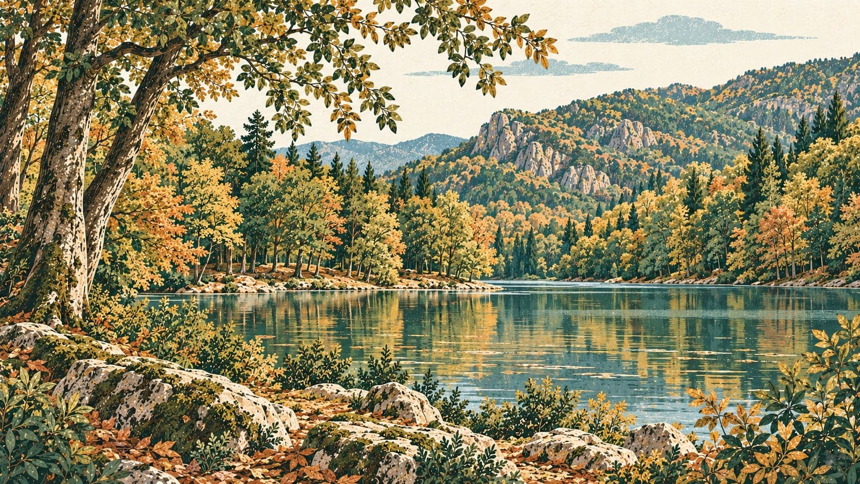
Yedigöller National Park lies in a markedly broken stretch of the Western Black Sea region of Bolu. Its chief assets are the lakes formed by landslip, the dense forest cover around them — thick enough to have earned the name sea of forest — the trout living in the water, and the scope for recreation that all of this creates.
The ground here is largely serpentine and volcanic rock. Slumping and ground movement, and terrain ready to slide, are what prepared the lakes: sliding masses blocked the mouths of valleys and water gathered behind them, so these are barrier lakes. Some of them are joined to one another by seepage below the surface. The highest point in the park is Eğrikiriş Hill at 1,488 metres and the lowest is Kirazçatı at 465 metres.
Türkiye's first station for raising farmed trout was set up in this park in 1969, and the lakes have been a draw for anglers ever since. The trout that fishermen brought here from Abant fed on the eggs of the native trout of Yedigöller and brought them close to disappearing.
Camping, day picnics, walking in the woods and photography are what most visitors come for. Rest houses, an open-air restaurant and a canteen within the park cover the need for food and a place to stay.
From the Kapankaya viewpoint inside the park you can look out over the lakes and the surrounding landscape. On the way there a roadside sign marks a monumental tree, which can be reached by following the path from the sign. The deer breeding enclosure can also be visited.
The woods hold oriental beech, hornbeam, alder, willow, aspen and sycamore maple, with rhododendron and bramble in the understorey and, in the wetter ground by the lakes, rushes, sedges, horsetail and duckweed.
- Designated
- 29.04.1965
Entry fee
- Black Sea group 1 · category 1 · Per person
- 75 ₺