Guide
Sarıçalı Dağı became Türkiye's 46th national park and Ankara's third; the Directorate's record gives the declaration date as 13 December 2021 in its data fields and 27 October 2021 in its text. It covers 1,024 hectares in the Nallıhan district, north-west of Ankara and west of the D-140 Adapazarı–Ankara road.
One thing to know first: the facilities here are still at the planning stage, and the Directorate lists no activities. This is protected ground rather than a park with a visitor centre.
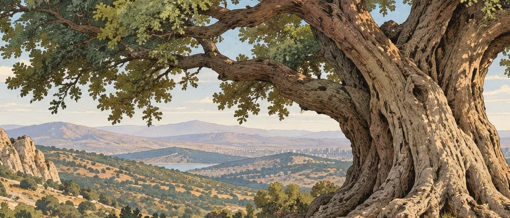
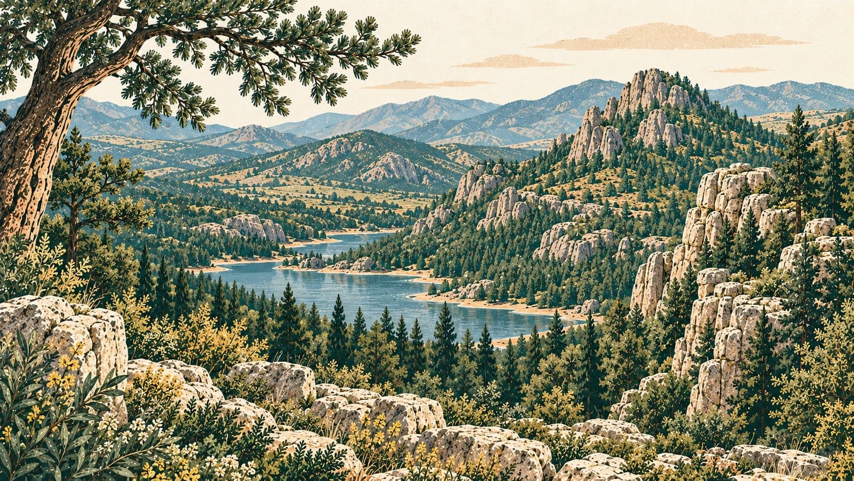
The area lies in the Irano-Turanian phytogeographical region and is dominated by forest — black pine growing pure or mixed with oak, along with mixed oak and juniper woodland and broadleaved stands, with smaller areas of scrub, wetland, meadow, steppe and rock vegetation. Red deer live on Sarıçalı Dağı in numbers, and the other animals recorded include wolf, lynx, red fox, beech marten, green lizard and a yellow snake, with bearded vulture, chaffinch, rock thrush, grey heron, sparrowhawk, greenfinch and wood pigeon among the birds.
Access is from the north, west and south, and the roads are mostly unsurfaced. From the north, a track of about 4.5 kilometres leaves the Nallıhan–Göynük junction; roughly a kilometre before the site it forks, the northern branch reaching the park and the western branch running about 4 kilometres to the Uyuzsuyu — Ilıcasu — waterfall. Four hundred metres short of the falls that road forks again, the southern branch entering the park at its western boundary and running 4.3 kilometres to the Çulhalar neighbourhood, from where the road is asphalt as far as Arkutça. The southern approach comes up through Arkutça, asphalt to the village and track thereafter, continuing about a kilometre north and ending at the eastern boundary between the Kurtkapanı and Kedikaya hills. The nearest settlements are Arkutça at 0.3 kilometres, Çulhalar at 0.5 and Kadıköy at 1; Nallıhan town is 25 kilometres away.
- Designated
- 28.10.2021