Guide
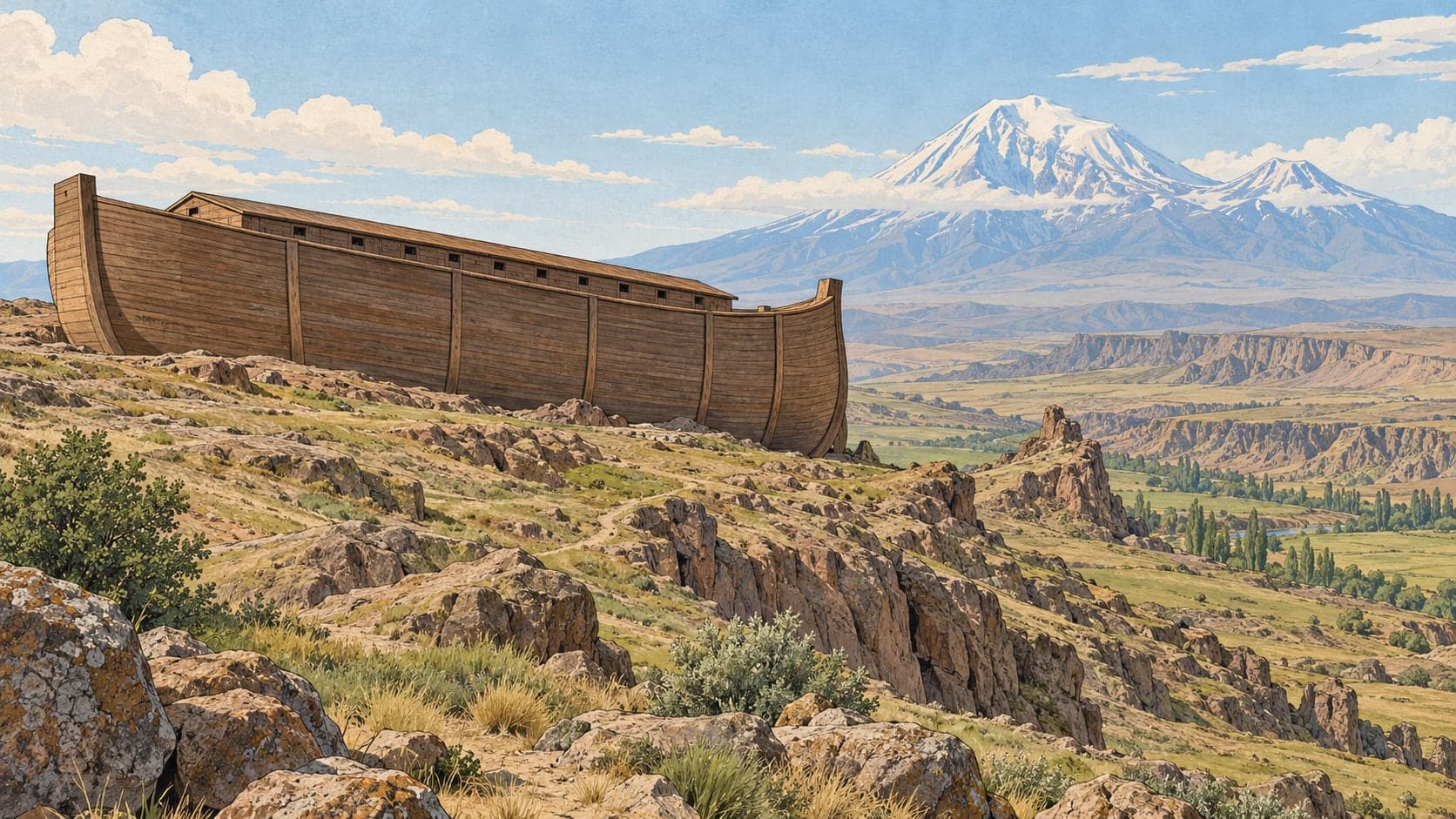
On the slopes between the villages of Telçeker and Üzengili, directly across from the southern face of Mount Ağrı, the ground has taken the outline of a ship. The district authority is careful about what that is: a natural monument, a shape and a silhouette in the earth. It lies about 3.5 kilometres from the Türkiye-İran transit road, and locally the place is called Cudi Dağı.
The claim attached to it is that the ship of the Flood came to rest here. Whether the formation was produced by the landslides that run down this slope, or is the place where an ark grounded, is described by the source itself as still disputed. What is not disputed is the oddity: the mass has kept its shape and its position even though the slope around it slides continuously, and the outline resembles something built rather than something formed.
It came to notice on 11 September 1959, when Captain İhsan Durupınar of the survey corps found the shape while examining aerial photogrammetric maps of the eastern region. Searching intensified from 1983, and American researchers, James Irwin among them, examined the site from several angles; Turkish scientists from Atatürk University, Yüzüncü Yıl University and the MTA Institute studied the formation as a geological question.
The Ministry of Culture and Tourism's High Council for Immovable Cultural and Natural Property ruled on 17 September 1987, decision 3657, that the mass qualified as immovable cultural and natural property requiring protection; the site has since been protected as a natural conservation area and open-air museum.
A café has been built at a point from which the formation can be seen from above.