Guide
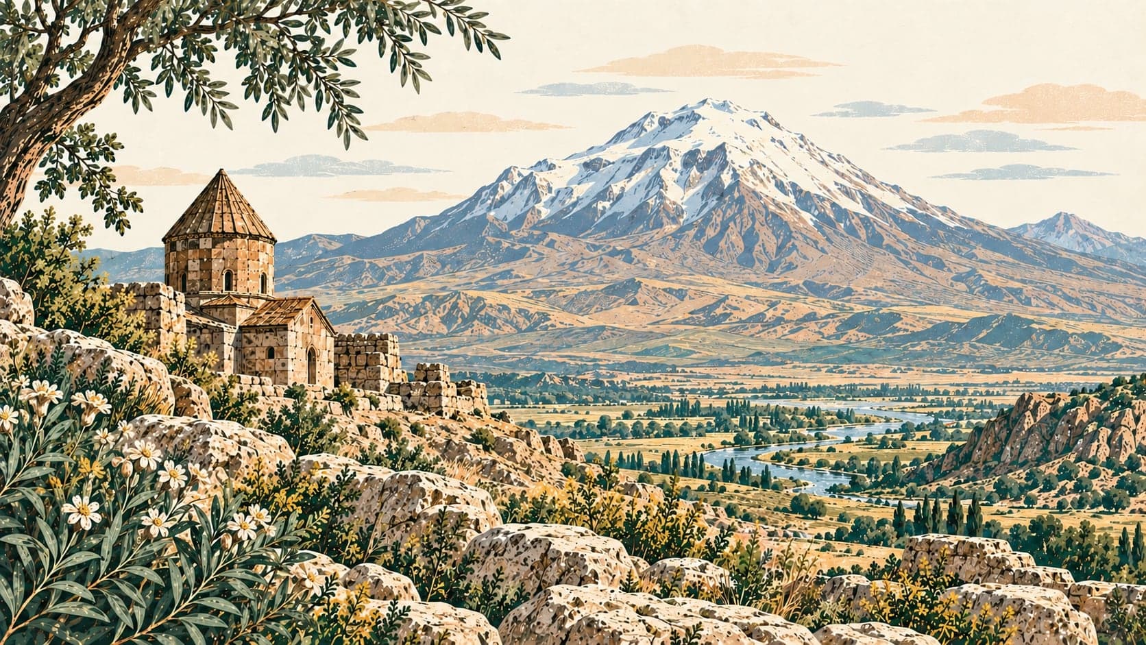
At 5,137 metres, Ağrı Dağı is the highest mountain in Türkiye. It stands at the country's eastern edge, sixteen kilometres west of Iran and thirty-two kilometres south of Armenia, and has two summits: Büyük Ağrı, the Atatürk peak, at 5,137 metres, and Küçük Ağrı, the İnönü peak, at 3,898 metres. It is volcanic, built of basalt to about 4,000 metres and of andesite lavas above that.
The mountain carries many names and none of them translates the others. The Turkish name Ağrı Dağı has been in use since the late Middle Ages. The traditional Persian name, Kūh-e Nūḥ, means the mountain of Noah; the Kurdish name, Çiyayê Agirî, means the fiery mountain. The name by which the mountain is best known in the world, Ararat, is the Greek form of the Hebrew word used in antiquity for the Urartians who lived in the Armenian highlands — yet no native people of the region has ever used it for the mountain. In classical antiquity, and in Strabo's Geographica in particular, its peaks appear in Greek as Abos and Nibaros. The traditional Armenian name is Masis, though Ararat and Masis are used equally often in Armenia today; Masis is thought to come from the Middle Persian masist, greatest, or from the Proto-Indo-European root for mountain, and the archaeologist Armen Petrosyan holds that it passed from Mount Māšu in the Epic of Gilgamesh.
Ağrı Dağı is not only the highest peak in the country but the only mountain in it carrying a present-day ice cap, ten square kilometres of it. The permanent snow line runs at 4,300 metres; Blumenthal calculated in 1958 that in the Pleistocene it came down to 3,000. The cap on the summit is the largest glacier in Türkiye, and eleven glacier tongues hang from it, between one and two and a half kilometres long, reaching down to 4,200 metres on the southern skirts and 3,900 on the northern. The largest is in the Cehennemdere valley, north-east of the crater; the slope there is so steep that ice breaking off has built up, around 2,370 metres, into a dead regenerated glacier covered in debris.
Moraines at the foot of the mountain cover far less ground than on other mountains. The source gives three reasons: except for the Cehennemdere valley there are no developed valleys; there are no steep summits of the kind that would cover the ice with weathered material; and material thrown out by the volcano when it becomes active from time to time has buried the older moraine deposits.
- Designated
- 17.11.2004
Entry fee
- Southeastern Anatolia group 1 · category 2 · Per person
- 40 ₺