Guide
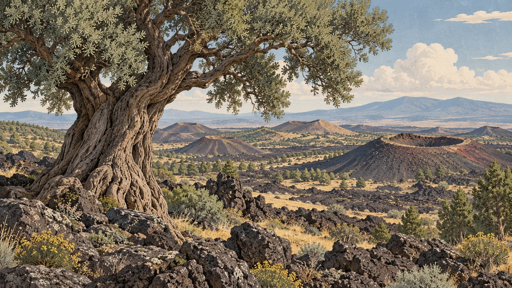
Volcanic activity around Kula in Manisa carried on into the beginning of the Quaternary and left young volcanoes behind. Eruptions happened here at different times and lava spread across the surrounding country, which is why Kula and its surroundings were called Katakekaumene in antiquity — the Burnt Land. The largest of the cones, visible from the İzmir–Ankara road, are Sandal and Kara Divlit.
The volcanic field runs from the centre of Kula west to the Demirköprü dam, on a plateau 600 to 700 metres high, bounded by the Gediz to the north and the Alaşehir–Salihli graben to the south. The cones are strung out from north-west to south-east, following the line of that graben, and are tied to its fault system.
The volcanism is of the typical fissure kind. All the lavas are of the aa type, their blocks rough with projections and hollows ranging from a few centimetres to a metre. Hornitos — small spatter chimneys — are plentiful on the lava and cinder, and lava tunnels can be followed in places. The cones are cinder and spatter type and differ somewhat in age and in how far they have worn down: the craters of the older cones are larger, those of the younger ones relatively small. The cones are built of pyroclastics, lava, lapilli, cinder and volcanic bombs of various sizes, and around the seventy or so of them lie the black basaltic lava flows they produced. The youngest look like present-day cones and are called Divlit locally; some cones have twin craters.
Research in the field has established that the Kula volcanics were active in three separate phases, named the Burgaz, the Elekçitepe and the Divlittepe volcanics.