Guide
Kastabala — Hierapolis in antiquity — lies twelve kilometres north-north-west of Osmaniye on the road from Cevdetiye to the Karatepe museum, among the villages of Kesmeburun, Bahçe and Kazmaca, commanding a small plain near the Ceyhan, the ancient Pyramos. Surface finds from Cilicia around it span the 2nd millennium BC to the Roman imperial and late Roman periods, but the excavation director's own account is candid that the archaeology of Kastabala itself, from the 1st millennium BC to the Roman empire, has not yet been sufficiently investigated.
Excavation started here for the first time in 2009 and is still running, and its results have already changed the history of the city as it was previously understood. Material now dated to the late Neolithic and early Chalcolithic, the 5th century BC, the 1st century BC to the 1st century AD, the 2nd century AD, the 4th to 6th centuries AD and the 13th to 15th centuries suggests that the gaps in what is known about Kastabala and the region are about to be filled in.
The work has also established how far the city reached: a fertile plain bounded by the Ceyhan to the south, Karatepe to the north and the Kırmıtlı bird sanctuary to the west. Inside the walled centre, the buildings occupy the north, south and east slopes of a small valley below the castle hill, with rocky outcrops forming the natural northern limit of the settlement. A passage cut through the rock on the north-east flank of the castle, at the city's north-west, links the western and eastern residential areas.
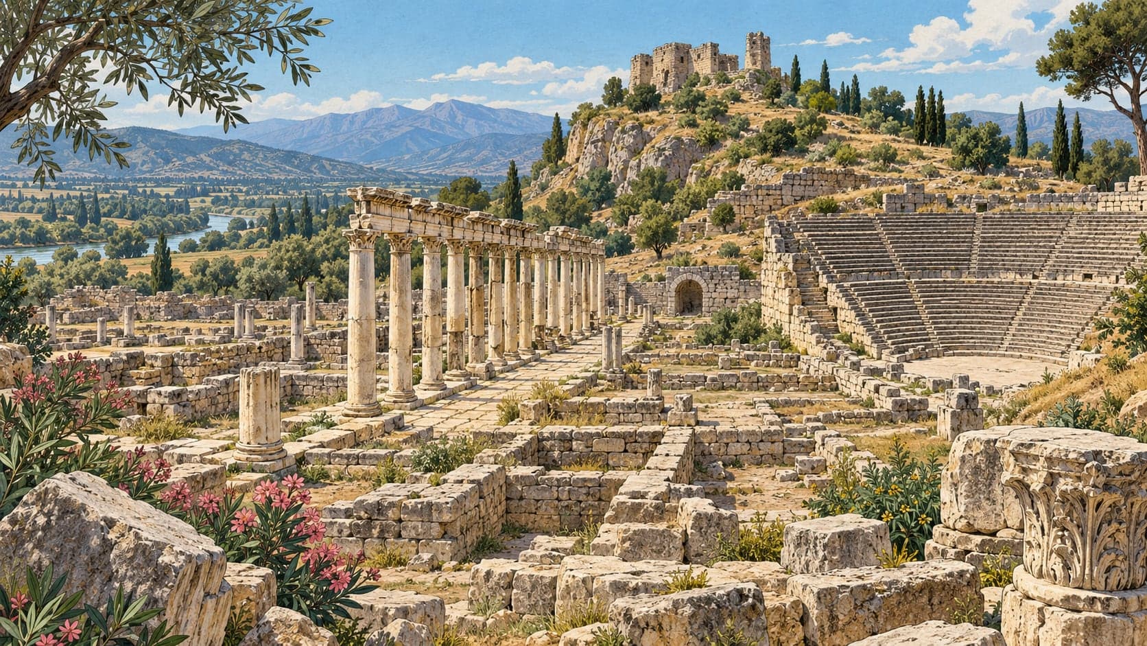
In the Roman imperial period of the 2nd century AD the city is thought to have had no wall at all, the first defensive system being built at the end of the 4th century. Its planning turns on a colonnaded street that sets the main axis. Walls and vaults were used to win level terraces out of sloping ground, and on this grid laid over the hillside the public buildings were placed at the centre: the theatre, the baths, the shops, and the north and south churches. The medieval castle rises on a defensible rocky hill above them. The first building phase of the surviving public architecture dates to the Severan period, and the broken rocky slopes ringing the city on the east, north and south hold a great many tombs. The excavation is directed by Prof. Turgut Hacı Zeyrek of Karadeniz Technical University on behalf of the Ministry. The site is reached by asphalt road; without a car, the village minibuses to Bahçe, Kesmeburun or Karatepe serve it.