Guide
The Cilo and Sat Mountains National Park was declared by presidential decision of 25 September 2020 and covers 27,500 hectares across the central, Yüksekova and Şemdinli districts of Hakkâri. It is really two places under one name: the Cilo glaciers, 11,957 hectares, and the Sat lakes, 15,543 hectares. The Cilo glaciers had already been registered separately, in July 2019, as a strictly protected sensitive area falling within potential natural site status.
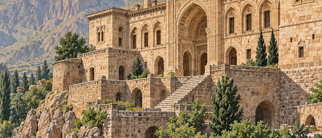
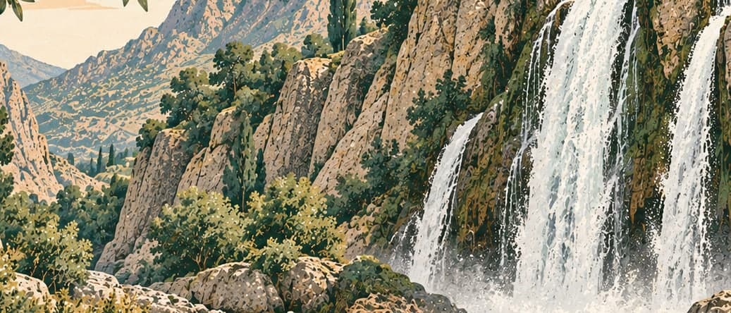
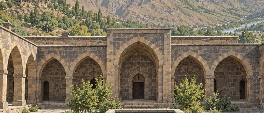
On the Cilo side the glaciers themselves are the point. They are given as 25,000 years old, and the Directorate states that a creature called sikal, the ice worm, is found nowhere else in the world. Türkiye's second-highest summit, Uludoruk — also called Reşko — rises to 4,135 metres here, and Cilo and Sirebi near it are among several peaks suited to technical climbing. The area holds thirteen mountains, plateaus above 3,000 metres, and six glacial lakes. Its human remains are as striking: the Gelezo waterfall and the monastery of Mar Shalita; the Deriyê Cehwer, the Cehwer gate, through which the ancient royal road passed, and its tower; and the Bala and Gelezo dirhe, thought to be four thousand years old and to have served as defensive towers.
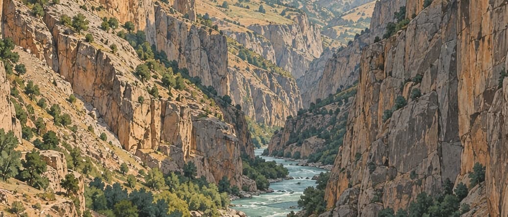
The Sat side is water and rock. Thirty glacial and crater lakes lie here, among them Bermesor — Kırmızıtaş — which is one of the largest glacial lakes in the country. Twenty-four mountains rise above 3,000 metres, along with the Kunehingiv canyon and the Çarçel range. Rock paintings estimated at ten thousand years old fall inside the park boundary.
Fieldwork for the long-term development plan, together with the published record, has identified 228 plant taxa belonging to 49 families.
Distances from the centre of Hakkâri: 12 kilometres to the Kırıkdağ valley, 30 to the Bala plateau, 31 to the Spihane plateau and 36 to the glaciers. One road runs from the city to the Cilo glaciers; near the Gelezo church it forks, one branch going to the Spihane plateau and the glaciers, the other climbing to the Bala plateau and Cilo. The Sat mountains and lakes are 28 kilometres from the centre of Yüksekova, with Dağlıca at 29 and Yeşiltaş at 20. Stated capacity is 4,100 visitors, 270 vehicles and 105 tents.
- Designated
- 26.09.2020
Entry fee
- Southeastern Anatolia group 1 · category 2 · Per person
- 40 ₺