Guide
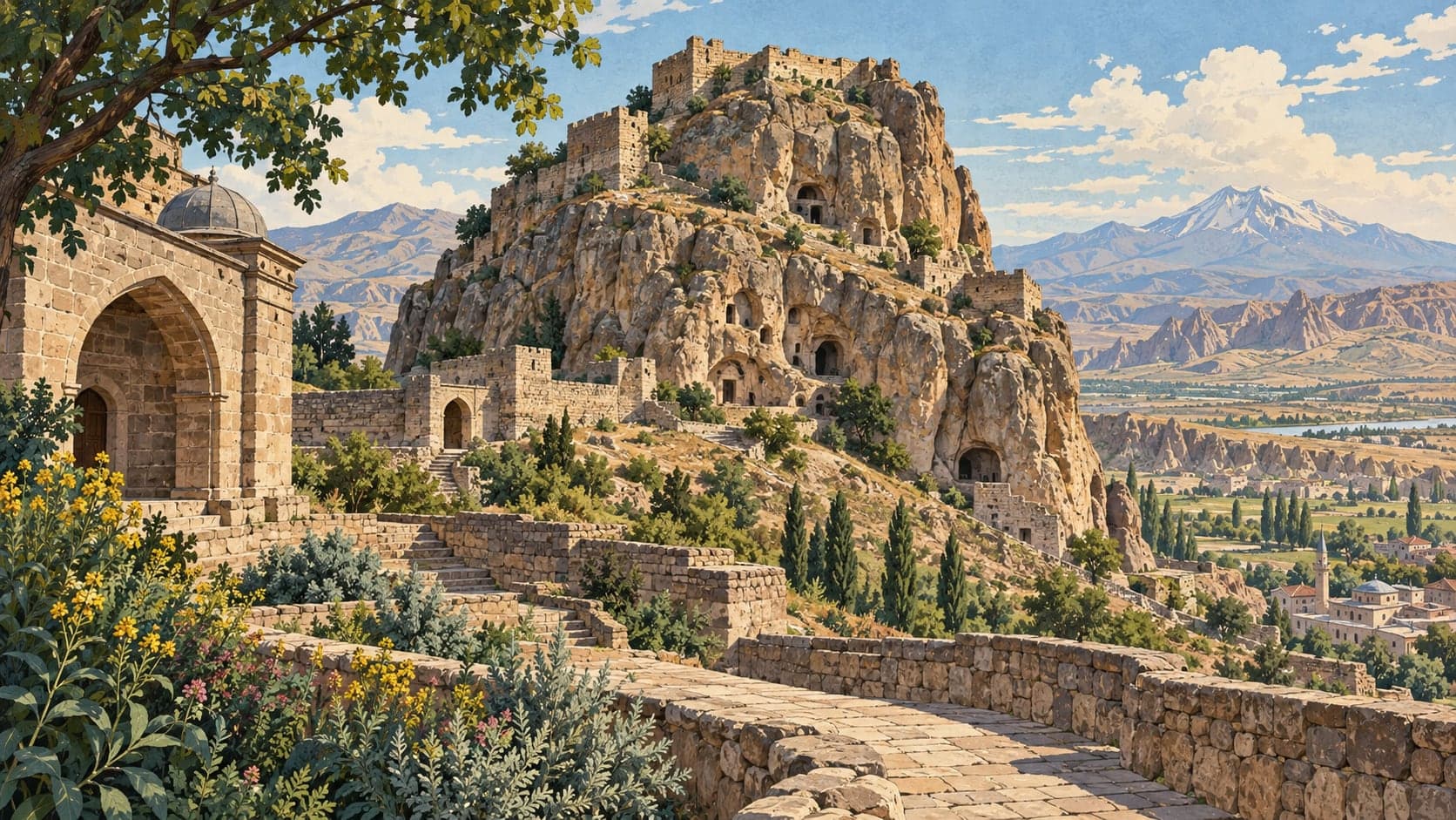
Güvercinkayası stands on a high mass of rock in what is now the Mamasın reservoir, by the Melendiz stream near the village of Çatalsu, and it is dated between 5200 and 4750 BC. The position also commands the old migration routes through the region.
Excavation began in 1996 and is carried on by an international team under Sevil Gülçur of the prehistory department at İstanbul University. The portal describes the site as the earliest known forerunner in central Anatolia of the settlement type that can be called a fortified town — a properly organised village whose finds show how the later Anatolian model of a city came to evolve. Stamp seals and some of the pottery point to contact with distant regions, particularly eastern Anatolia and northern Mesopotamia.
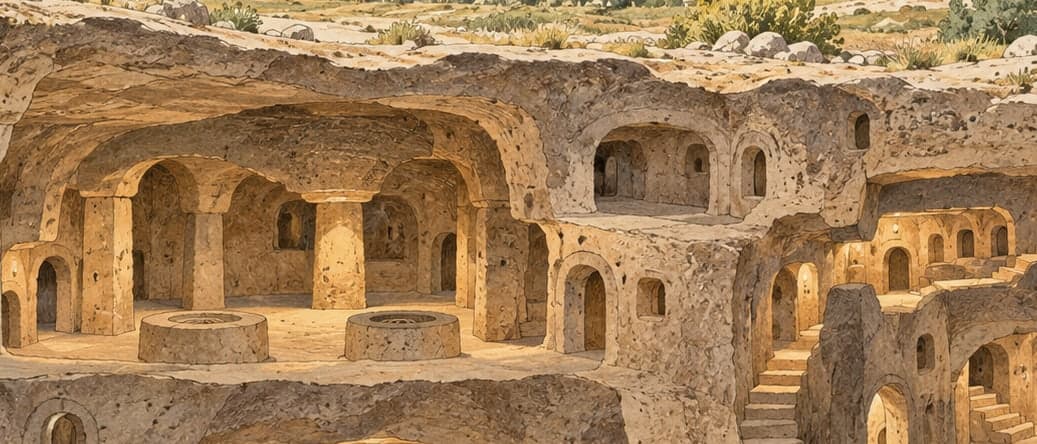
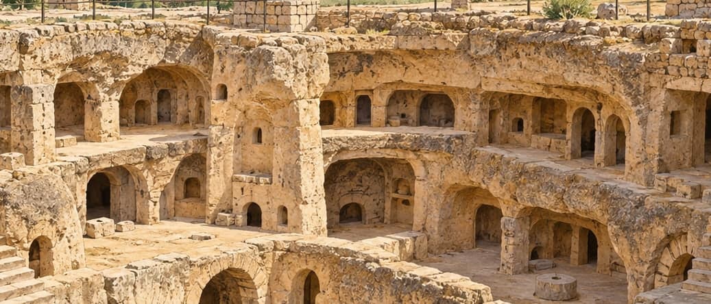
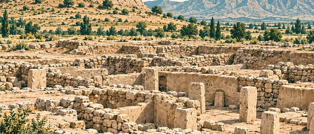
A wall closing the summit plateau on the north splits the village into an inner citadel and a lower settlement. The houses of the citadel, which ended in a heavy fire, are larger than those below and richer in what they contained. The architecture was planned before it was built and looks something like a modern terrace: narrow, long single-room houses of 20 to 30 square metres, arranged in blocks separated by streets and fitted to the natural shape of the rock, sharing their walls, each with a store room at the back for a family's grain.
The wall with its twin towers, dividing the summit from the terrace and slope houses, is the concrete sign that social division had begun here. The steep rock closing the plateau to the south and west served as a natural defence. The economy rested on farming and herding, with wheat and barley as the main crops.