Guide
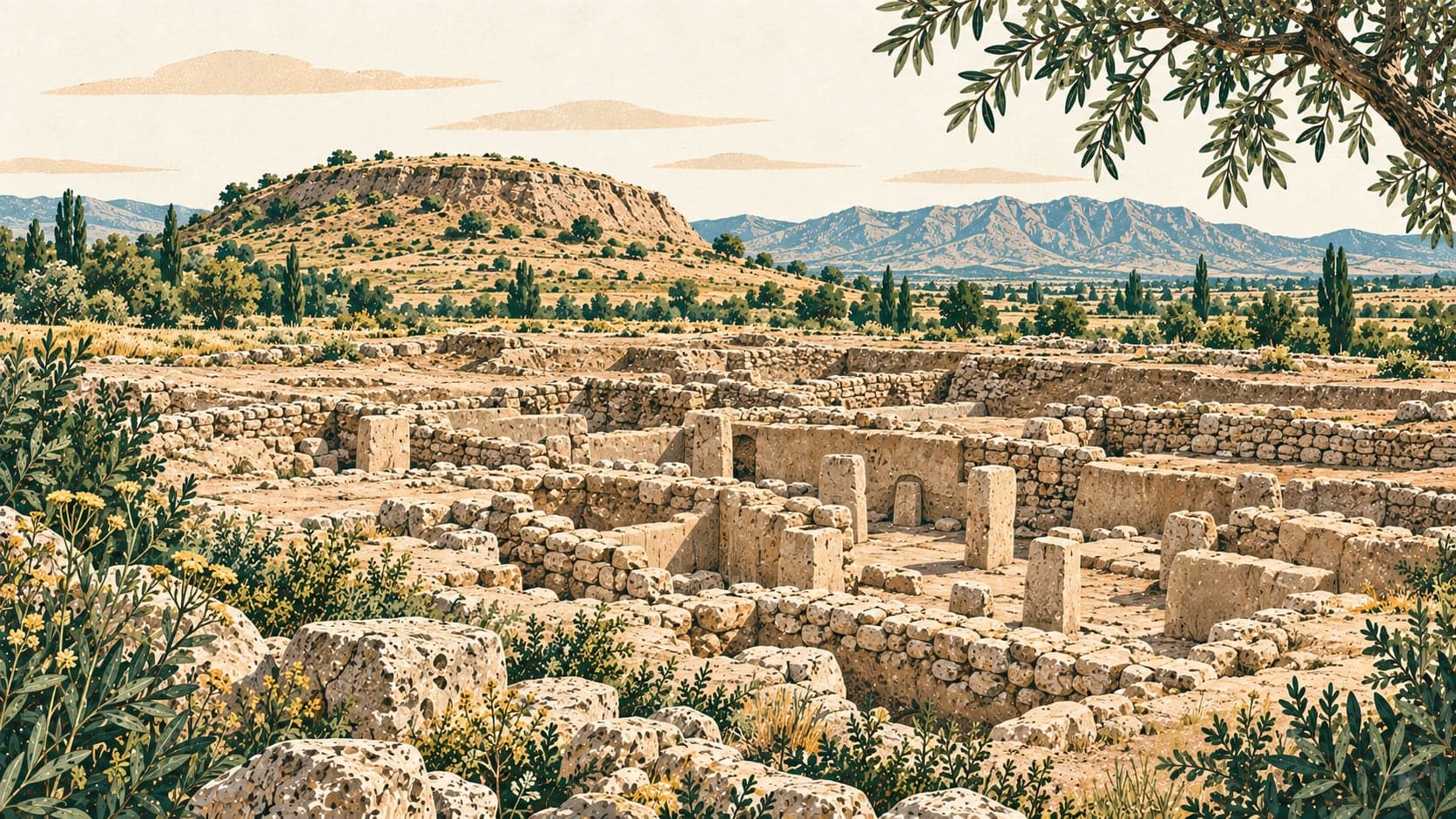
Aşıklı Höyük is an archaeological mound near the village of Kızılkaya, twenty-five kilometres east of the centre of Aksaray, on the bank of the Melendiz stream. It covers about four hectares and stands 1,119 metres above sea level; its western side has been worn away by the stream repeatedly shifting its bed. Radiocarbon results place settlement here from the ninth millennium BC to the end of the eighth, roughly 8200 to 7500 BC, and through that near-thousand years the community never abandoned the site.
That unbroken occupation is what makes the mound important. One of the great changes in human history — the move from hunting, gathering and moving with the seasons to staying in one place — can be followed here step by step, in a single settlement, in the volcanic Cappadocia of central Anatolia. The people of Aşıklı were among the first hunter-gatherers in the region to settle, and the record shows radical change in settlement layout and architecture alongside slow, gradual change in economy and technology.
The architecture alone marks out the turning points of Near Eastern Neolithic building. Organic materials taken straight from the landscape, reed and wood, give way to the making of mudbrick and its use in several forms; oval huts give way to rectangular houses; the arrangement of the settlement itself is transformed. The earliest people lived in half-sunken oval buildings with mudbrick walls, and also used woven reed huts. Inside were hearths, post holes of various sizes, some of them for posts carrying the roof, and low benches; grinding stones are among the finds. The floors were plastered, and graves were cut through the plaster: the dead were buried in the hocker position, curled as in the womb, in pits opened in the floors of the buildings, some of them accompanied by objects. Once an oval hut had gone out of use it was filled with refuse.
Continuity is the thread that runs from the first settlement to the last. In the ninth millennium it shows in walls and floors renewed while the pit dug for a building was still in use — building and occupation carrying on in the same spot — and in hearths rebuilt at the same point each time.
Daily life was lived outdoors, in the open areas between the buildings, some roofed with a few posts and some entirely open: cooking, working hides and skins, knapping obsidian, working bone and antler, making baskets and beads. Large cooking pits, animal bones, plant remains, bone tools — mostly awls — obsidian tools and knapping debris are what survives of it. The food economy rested on hunting wild animals, chiefly sheep, goat, cattle, red deer, hare and fish, on harvesting both wild and cultivated cereals and pulses, and on gathering herbs, nuts and fruit; wheat and barley cultivation began during the period of settled life.
The mound was first identified in 1963 by the Hittitologist Edmund Gordon, and the first substantial work was Ian Todd's surface collection, section study and dating in 1964–65; from carbon samples taken on the slopes Todd placed the settlement nine or ten thousand years before the present. Excavation proper began in 1989, when the decision to raise the water level of the Mamasun dam made it clear the mound would probably be flooded, and the Department of Prehistory at İstanbul University began rescue excavations under Ufuk Esin, with Savaş Harmankaya as second director. Nur Balkan Atlı directed the work from 2000 to 2003, and after a three-year gap a second phase of interdisciplinary excavation and research, with new aims and methods and specialists from several countries, was begun in 2006 by Mihriban Özbaşaran and Güneş Duru.
Visit status for this record: open to visitors.