Guide
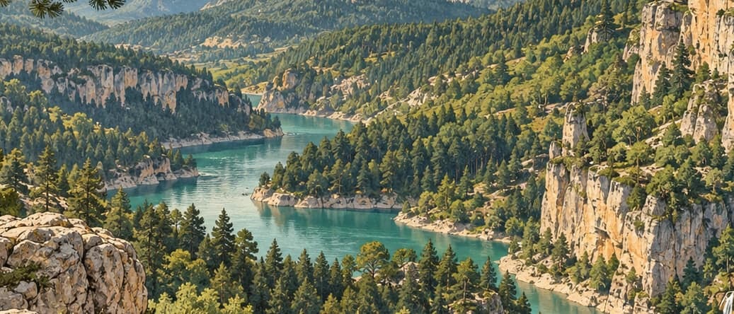
Başkonuş lies north-west of the Onikişubat district of Kahramanmaraş, at an average height of 1,300 metres. Forested steep slopes ring a wide flat area, which is what makes it usable for camping and for festivals. A community forest lies to the north, the 1,780-metre summit of Başkonuş Dağı to the south and the Başkonuş ridges to the east. Reaching it means leaving the Kahramanmaraş–Kayseri road at the Andırın junction at kilometre 30 and following 25 kilometres of two-lane asphalt; the total distance from the provincial centre is 55 kilometres.
The recreation area was registered as a type-B forest rest area in 1995, raised to type A in 2006, and enlarged from 10 to 16 hectares in 2007. Its summers are locally cool.
What grows here changes with height: kermes oak, terebinth, mountain strawberry, sumac, Turkish red pine, Taurus black pine, cedar of Lebanon, oriental beech, hop hornbeam, alder, fir and Taurus cedar. Among the flowers are hyacinth, tulip, the fritillary known as the inverted tulip, snowdrop, mountain hyacinth and cyclamen. On a walk through the forest the chance of meeting groups of deer is high.
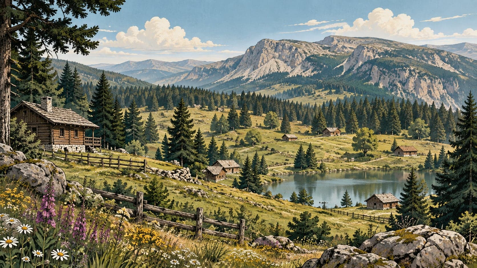
Inside the area there is a country restaurant, bungalow forest houses, sports grounds, tent and caravan camping, picnic grounds, children's playgrounds and walking paths.