Guide
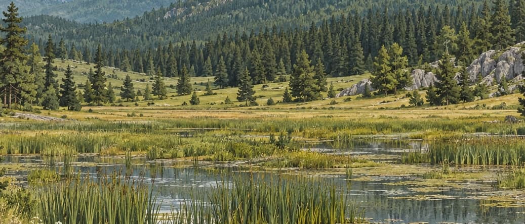
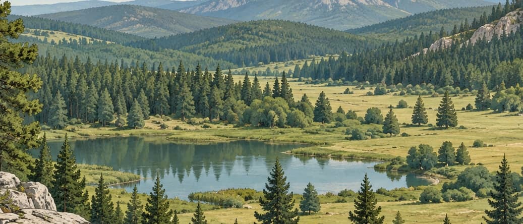
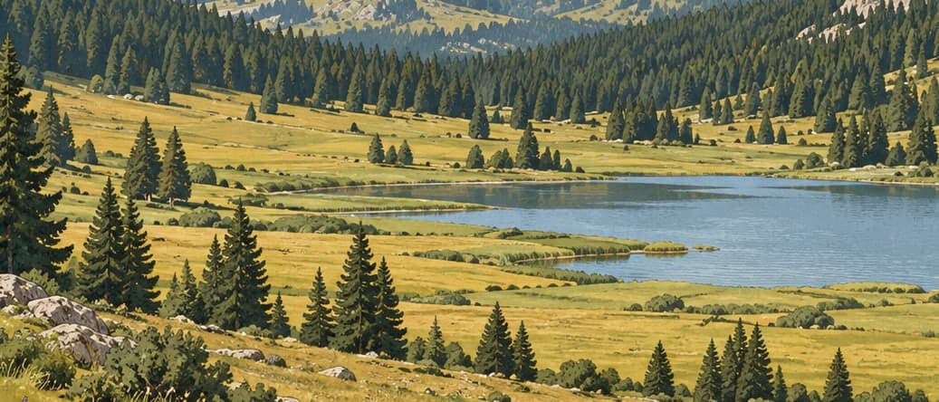
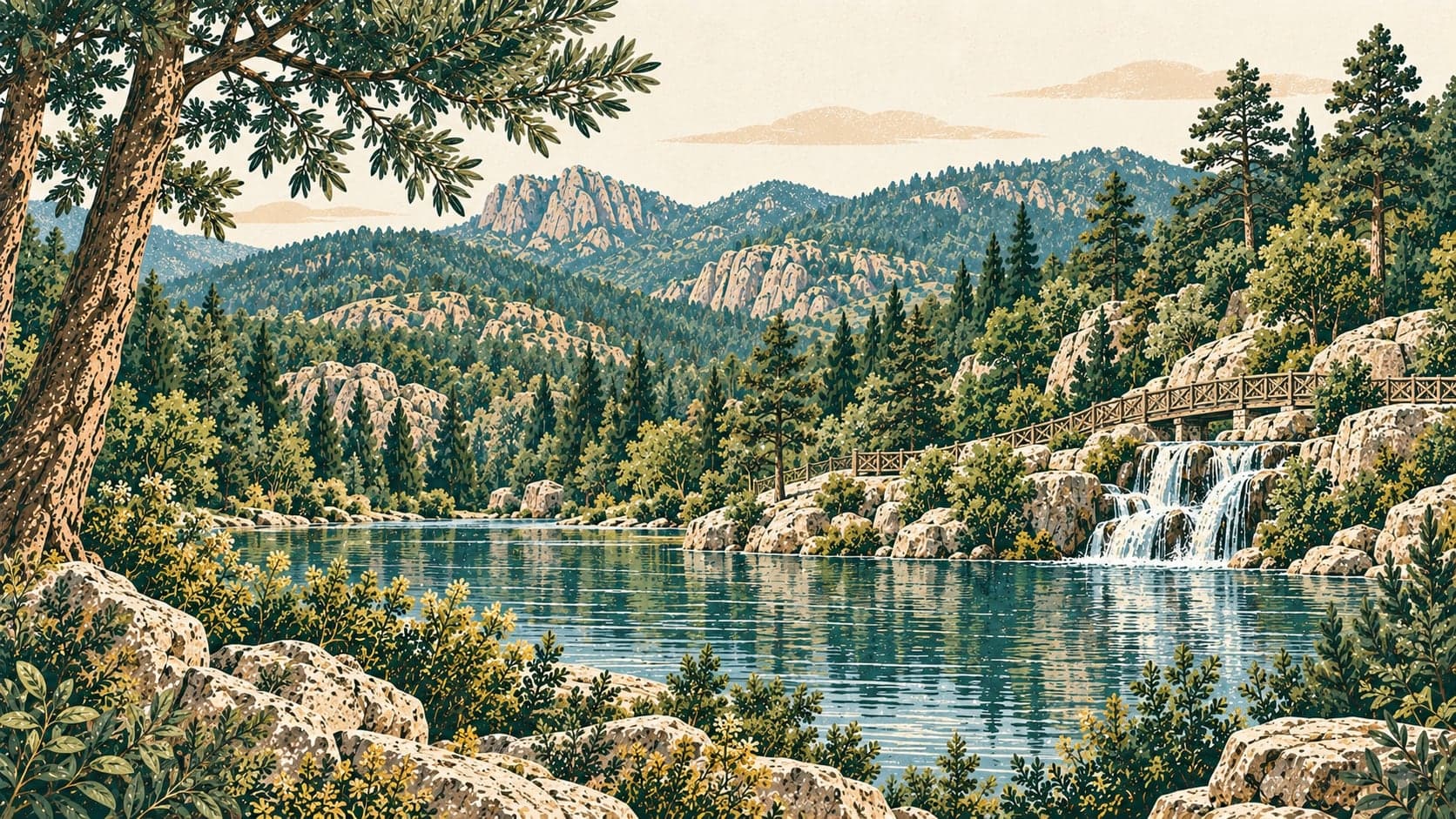
Soğuksu National Park lies in the Kızılcahamam district of Ankara, eighty kilometres north of the city, in a transition zone between the densely forested western Black Sea region and central Anatolia. It was established on 19 February 1959, and its area rose to 1,050 hectares with a boundary change in 1997. Because it is near the city it has become a place where people come to rest: a third of the park is set aside for public use and the rest is a nature conservation area, with a number of social facilities and the means for various activities within it.
The ground is volcanic, and the forested parts of the park rest on volcanic rock — andesite, basalt, tuff and agglomerate. That geology gives the park a good many natural hot and cold springs, which are used as spas. The Batılganın and Küçük Soğuksu streams inside the park run very low in summer or dry up altogether.
The land is firm and broken, between 1,030 and 1,800 metres above sea level with an average of about 1,100. The highest summits are Arhut Tepesi at 1,789 metres and Tolubelen Tepesi at 1,776; others of note are Harmandoruk at 1,648, Çakmaklı'nın Doruktepe at 1,530, Samrıdoruk at 1,447, Kayabelen at 1,400, Kel Tepe at 1,393 and Kara Tepe at 1,300.
The vegetation belongs to the Euro-Siberian type. Scots pine makes up about sixty-five per cent of the forest, with various other trees among it. The park holds around 160 bird species, among them threatened ones such as the cinereous vulture and some eagles, and it is habitat for a range of wild animals as well. The climate is a transition between the continental climate of the central Anatolian steppe and the wet climate of northern Anatolia, with an annual average temperature of 11.9°C.
Besides Kızılcahamam, the inhabited places around the park are small villages: Karacaören, Sazak, Saraycık and Alveren.
- Designated
- 19.02.1959
Entry fee
- Marmara group 3 · category 1 · Per person
- 65 ₺