Guide
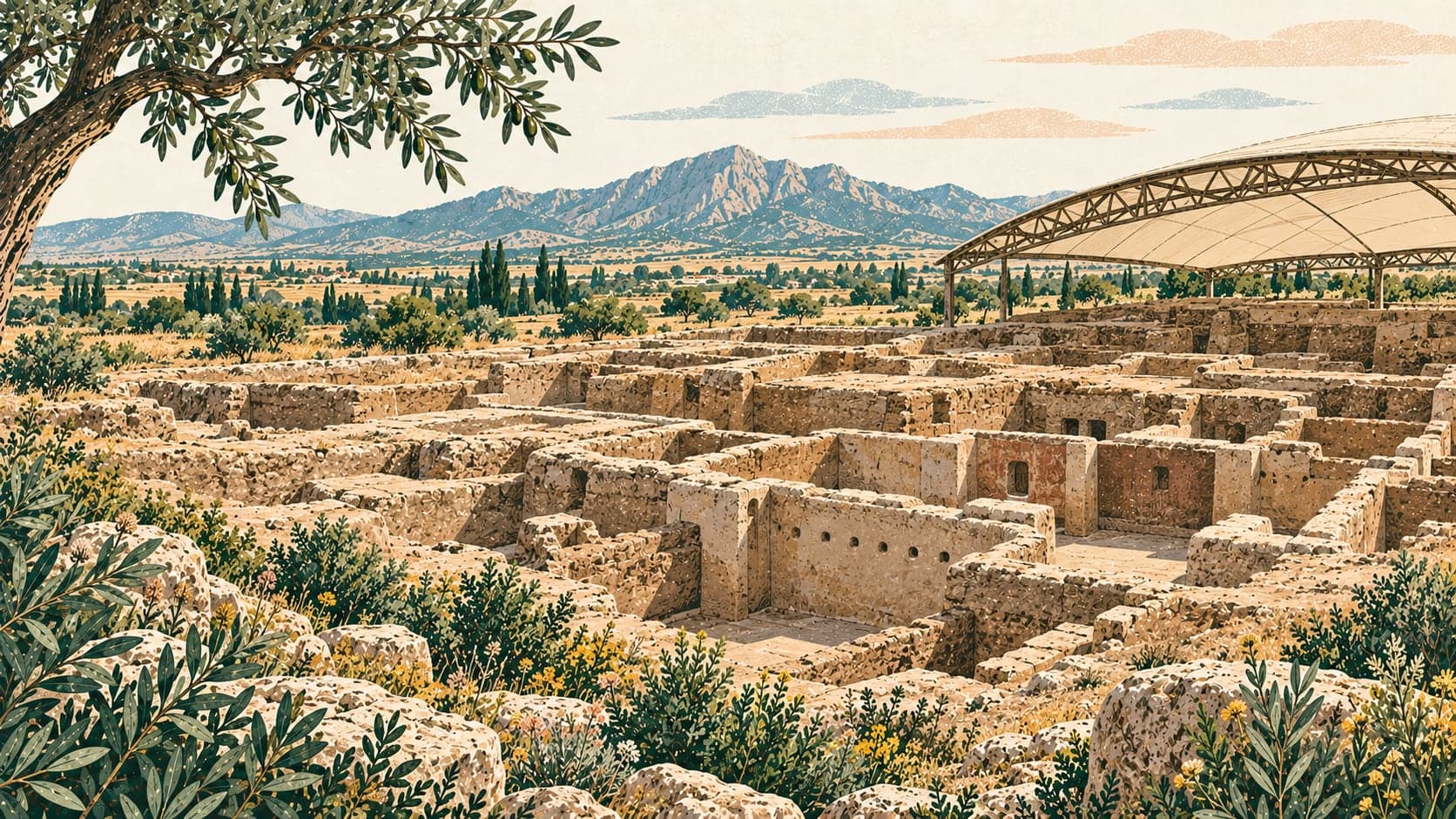
Çatalhöyük is an archaeological site near the village of Küçükköy in the Çumra district of Konya, occupied from about 7000 BC through the Neolithic and Chalcolithic ages. It consists of two adjacent mounds. The eastern one, known as Çatalhöyük East, was settled in the Neolithic; the western mound, Çatalhöyük West, in the Chalcolithic. The site lies fifty-two kilometres southeast of the city of Konya and eleven kilometres north of Çumra, on wheat-growing land overlooking the Konya plain.
The mounds were inhabited continuously for roughly two thousand years. What makes the Neolithic settlement remarkable is its size, the population it held and the strong tradition of art and culture it produced; more than eight thousand people are thought to have lived here. Its essential difference from other Neolithic sites is that it had moved beyond a village and was passing through a stage of urbanisation. Among the oldest settlements in the world, its inhabitants were also among the first farming communities. For these qualities the site entered UNESCO's Tentative List in 2009, and inscription on the World Heritage List was decided in 2012.
The eastern mound is probably the oldest and most developed Neolithic settlement found to date. James Mellaart discovered it in 1958 and excavated it in 1961-1963 and 1965. Work resumed in 1993 under Ian Hodder of the University of Cambridge, carried out by a mixed team of British, Turkish, Greek and American researchers, and has continued since. Excavation has concentrated on the eastern mound, regarded as the principal one. On the western mound, two deep soundings were made in 1961 on the summit and the southern slope, and surface survey and scraping began there when the second campaign opened in 1993.
By the last phase of the Neolithic, the eastern settlement had risen twenty metres above the plain. A small settlement extends westward, and a few hundred metres to the east lies a Byzantine settlement. The prehistoric settlements were abandoned before the Bronze Age. A channel of the Çarşamba river once ran between the two mounds, and the settlements were built on alluvial soil well suited to early farming. The houses were entered from above, through the roof.
Excavation has uncovered eighteen Neolithic occupation layers dated between 7400 and 6200 BC. Numbered in Roman figures, layers XII to VIII belong to the first phase of the Early Neolithic, between 6500 and 6000 BC; the second phase follows layer VI. On the western mound, pottery from the first season's trenches on the summit and the southern slope suggested a settlement of the Early Chalcolithic in two phases. The ware Mellaart dated to Early Chalcolithic I is known as Western Çatalhöyük ware.