Guide
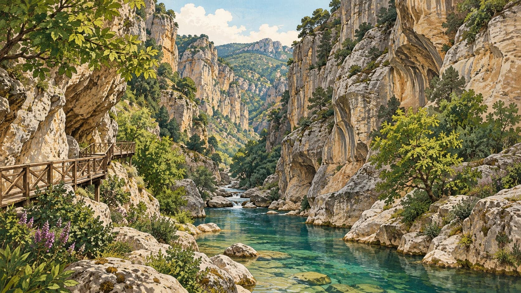
The valley lies on the Uşak–İzmir road, about 45 kilometres from the city, and was cut by water, wind and the movement of the earth together. The Gediz, fed by the mountains of inland western Anatolia, split the rock here and left a canyon that is unusual in geological terms; the layered colours of the walls change from the floor upward.
The shapes came from grinding rather than cutting alone. Water entered the crack system of a valley opened by earthquake faults, and the gravel it carried worked like a mill against the stone over thousands of years, leaving the lacelike hollows and projections visible today. Many of the small pools along the floor are filled with the gravel that did the work.
The rock itself is gneiss — a metamorphic stone formed when igneous or sedimentary rock is transformed. It began as granite kilometres below the surface and was pushed up by large tectonic movements and stripped by erosion, changing as it rose.
Winter is worth knowing about. The valley takes no sun in that season and the stream freezes, which is close to unheard of in the Aegean; under transparent ice reaching 30 to 40 centimetres in places, the fish can be watched swimming. The valley is a nature park, with picnic grounds, a viewing terrace, an observation tower, shelters and a kiosk at the entrance.
- Designated
- 22.06.2016
Entry fee
- Marmara group 1 · category 1 · Per person
- 85 ₺